Semantic surveying
Every pixel classified: crop, road, boundary, water, structure. Dense understanding at field scale.
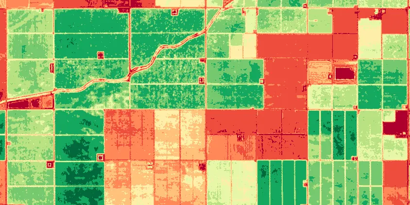
The field, understood parcel by parcel.
Every pixel classified: crop, road, boundary, water, structure. Dense understanding at field scale.
Named after the god of roads and borders, Hermes traces what matters on the ground.
Hermes runs on the segmentation capability of the world model, the same trunk as every other product.