Satellite Imagery
Monitor the planet at scale.
Every parcel, every forest, every pass.
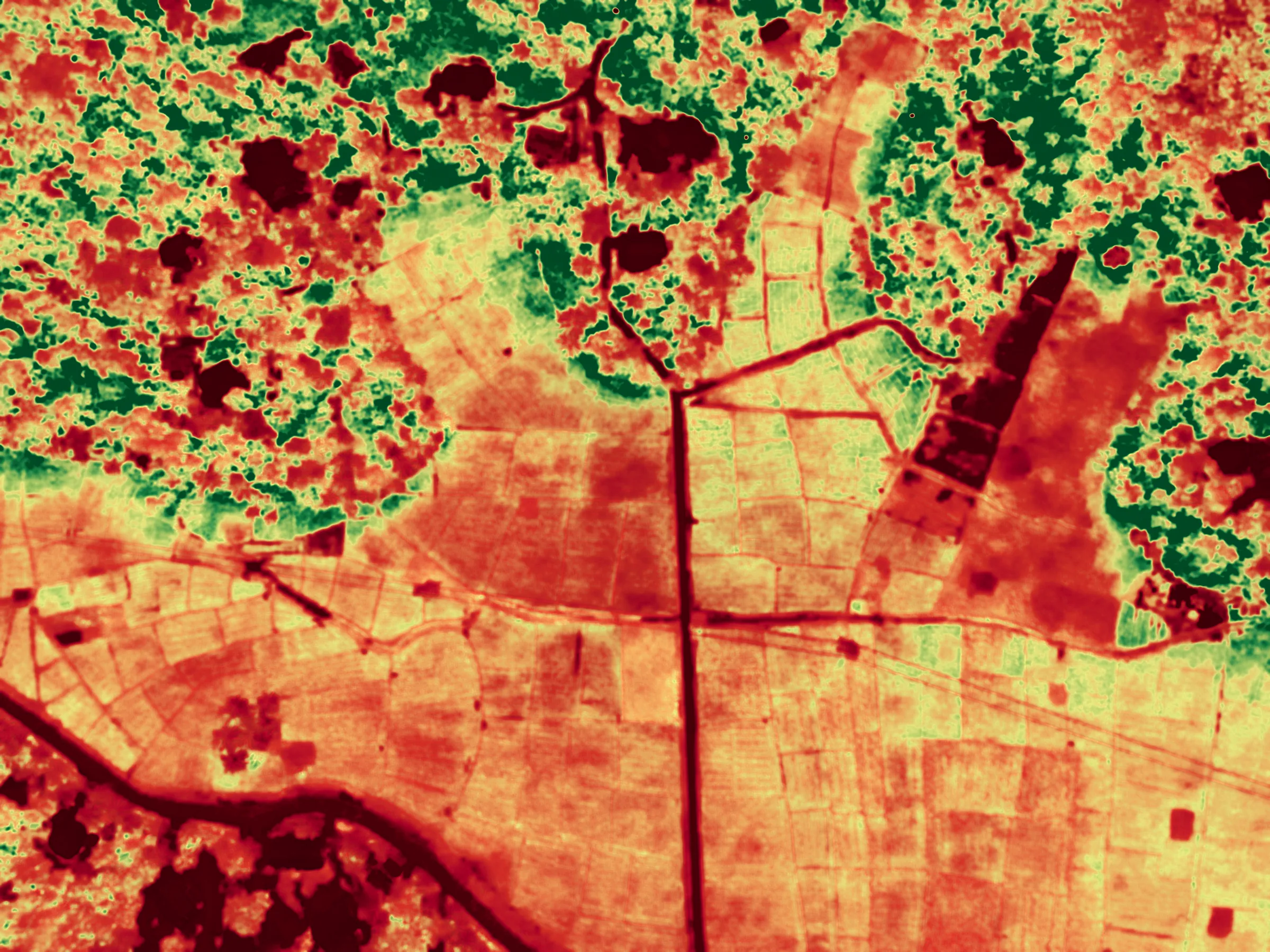
Satellite, aerial and drone imagery fused into a single analysis layer: change detection, spectral indices and object-level understanding delivered as alerts, vectors and maps.
From pixels to spectral truth.
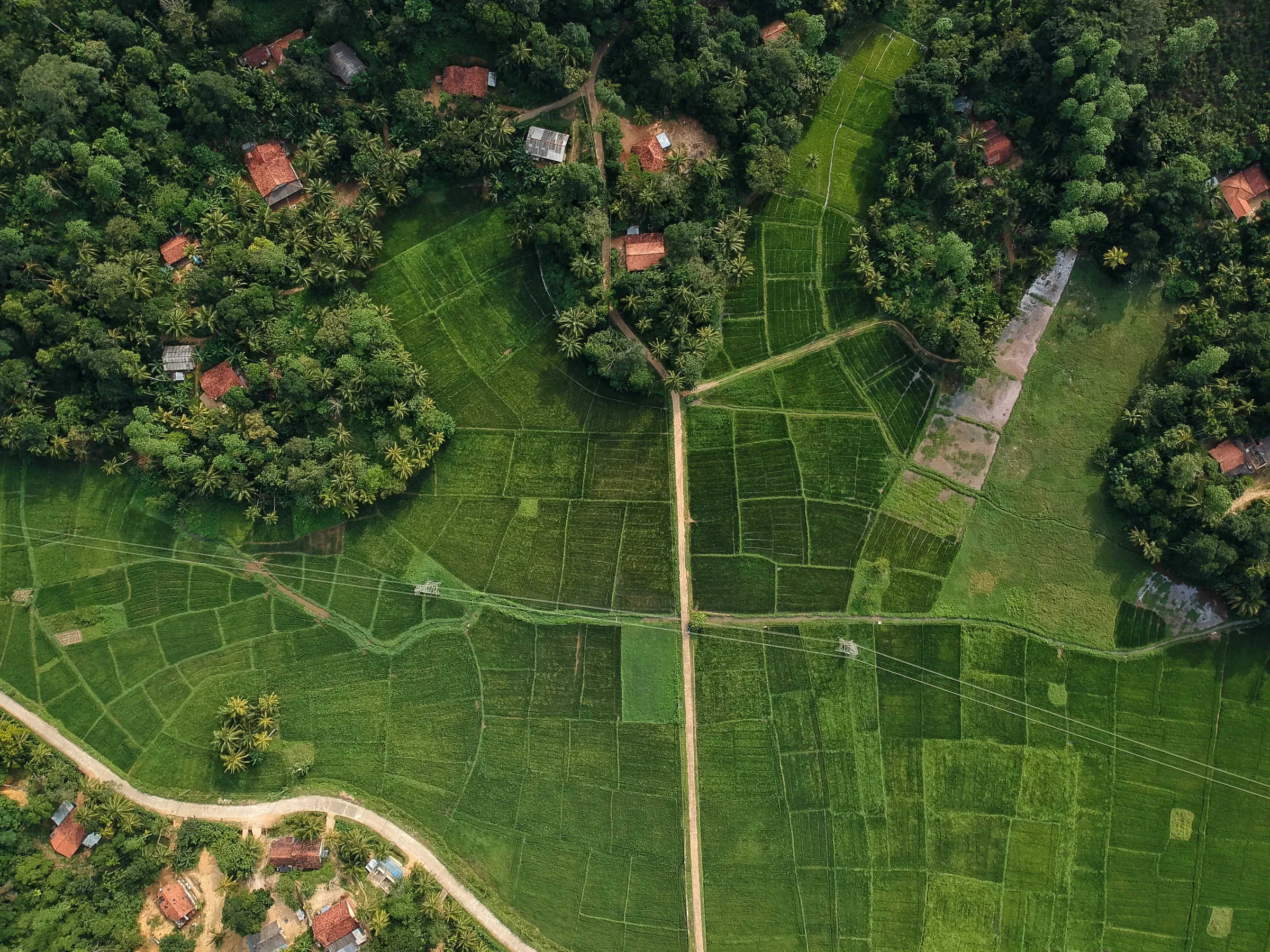
True-color scenes are only the surface. SINSTRY computes vegetation, moisture and burn indices on every pass, turning raw radiance into signals your teams can act on.